The DRC Maps the Subsurface
6 Articles
6 Articles

Africa’s mineral powerhouse deploys 8 specialised aircraft as it embarks on a 3-year project to unlock untapped mineral wealth
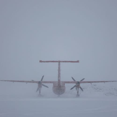
The Democratic Republic of Congo (DRC), Africa's mineral powerhouse, has launched a three-year programme using eight specialised aircraft to map its underground resources and identify new areas for mineral exploration.


In the context of the energy transition and the struggle for influence between China and the United States, Kinshasa wants to know better the extent of the richness of its subsoil in critical minerals. A prerequisite to "better defend the interests of the country".

DR Congo is turning geological data into a tool of resource sovereignty
Congo’s new airborne mapping programme seeks to strengthen the state’s position at the earliest stage of mining development: determining where commercially valuable deposits might exist. The country already occupies a central place in global cobalt and copper supply, yet much of its territory remains poorly understood geologically. Better information could attract exploration into new regions while helping public authorities assess opportunitie…

The DRC is launching an airborne mapping programme of its mineral resources over three years, with the support of the Spanish company Xcalibur. A strategic project to attract foreign investors, while Kinshasa is seeking to reduce Chinese control over its cobalt and copper.

PC2G-RDC: the DRC relies on science to better explore and value its mineral resources Image media PMaki Tue 06/10/2026 - 19:35 Corps The Democratic Republic of the Congo officially launched Monday, October 5, 2026, at Ndolo Airport in Kinshasa, capital of the DRC, the Aéroportée Geophysics and Geological Mapping Programme of the DRC (PC2G-RDC).
Coverage Details
Bias Distribution
- 67% of the sources lean Left


Factuality
To view factuality data please Upgrade to Premium