Published • loading... • Updated
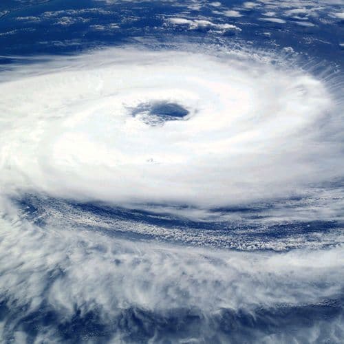
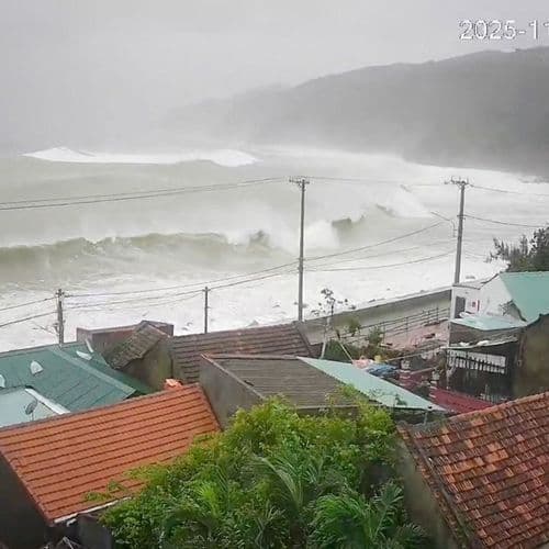
Typhoon 31 (Infa) Has Formed; Forecast for the Paths of the Two Typhoons; Typhoon 30 (Champa) Is Expected to Approach Kyushu Very Closely and Make Landfall on the 26th; the Typhoon Is Expected to Change Into an Extratropical Cyclone and Approach the Kanto Region on the 27th
Summary by FNN.jpプライムオンライン
 This story is only covered by news sources that have yet to be evaluated by the independent media monitoring agencies we use to assess the quality and reliability of news outlets on our platform. Learn more here.
2 Articles
2 Articles

While Champi Hasn't Dissipated yet, Typhoon In-Fa Has Just Formed and Is Forecast to Be Very Strong.
By the morning of October 24th, Typhoon Champi had weakened to Category 11 (103-117 km/h). Meanwhile, Typhoon In-Fa had just formed in the northwestern Pacific Ocean, and initial forecasts suggest it is likely to be a very strong storm.
·Ho Chi Minh City, Viet Nam
Read Full Article
According to the Japan Meteorological Agency, as of 10:00 AM on the 24th, large Typhoon No. 30 was estimated to be about 70 km northeast of Yonaguni Island, moving eastward at a speed of approximately 15 km per hour. Its central pressure was 980 hPa, with a maximum sustained wind speed of 30 m/s near the center and a maximum instantaneous wind speed of 45 m/s. It is expected to move into the East China Sea by 9:00 PM on the 24th, and is forecast…
Coverage Details
Total News Sources2
Leaning Left0Leaning Right0Center0Last UpdatedBias DistributionNo sources with tracked biases.
Bias Distribution
- There is no tracked Bias information for the sources covering this story.


Factuality
To view factuality data please Upgrade to Premium