Satellite Images Show Rivers Flooded on Nepal-China Border
Scientists said the collapse sent ice, rock and debris downstream, killing hundreds and leaving thousands missing in Nepal and Tibet.
- On Wednesday, August 26, 2026, a bedrock collapse along the Nepal-China border sparked catastrophic flooding that killed hundreds of people in Nepal and Tibet, with hundreds more missing, including foreigners and pilgrims.
- Geomorphologists examining satellite imagery from Thursday, August 27, 2026, discovered that the bedrock underneath the glacier on Langtang Lirung peak, near the border with Tibet, had collapsed, taking a massive chunk of ice down into the valley.
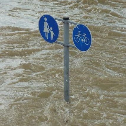
- The Trishuli River surged and overtopped its banks, turning brown with sediment as it transported massive amounts of mud and rock downstream, while buildings were toppled and swept away in Syapru Besi, a popular tourist destination.
- Mountain geographer Alton Byers of the University of Colorado Boulder said the flooding "left a wasteland in its wake" that will take years to recover from, as rescue teams continue searching the affected valleys for missing people.
- Though warming trends melt glaciers, experts remain cautious, with Geomorphologists Kristen Cook of the Université Grenoble Alpes in France and Dan Shugar of the University of Calgary noting they cannot link this to climate change, though Cook called such events "not unexpected.
31 Articles
31 Articles


Devastating floods on the China-Nepal border are highlighting the risks of rapid infrastructure development in the Himalayas, one of the world's most vulnerable regions to earthquakes and extreme weather events. China, India and Nepal are investing in dams, tunnels, railways, roads and bridges, both for energy and to strengthen their presence in border areas.

by Giorgio Vacchiano Posted on 30/08/2026 From the collapse of rock and ice on the Langtang Lirung to the full catastrophic: what we know, what remains uncertain and what role may have had the warming of the high mountain. And above all what to do to better understand and anticipate immani catastrophes like this. Giorgio Vacchiano writes about it. Satellite image of the area affected by the flood, by USGS EarthExplorer, https://earthexplorer.usg…

New footage, verified by the New York Times: Hikers heard a loud cracking noise, and within moments the mountain collapsed | Behind the dramatic images lies the disaster that has already claimed hundreds of lives and left thousands missing (World News)
Coverage Details
Bias Distribution
- 96% of the sources are Center


Factuality
To view factuality data please Upgrade to Premium