Published • loading... • Updated
Here's a list of some of the worst floods to hit Toronto area in recent years
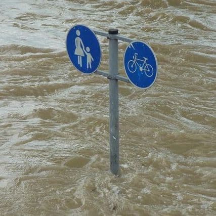
Record rains and rising lake levels flooded transit hubs, highways and the Toronto Islands, causing $1.5 billion in damage, Swiss Re Canada later reported.
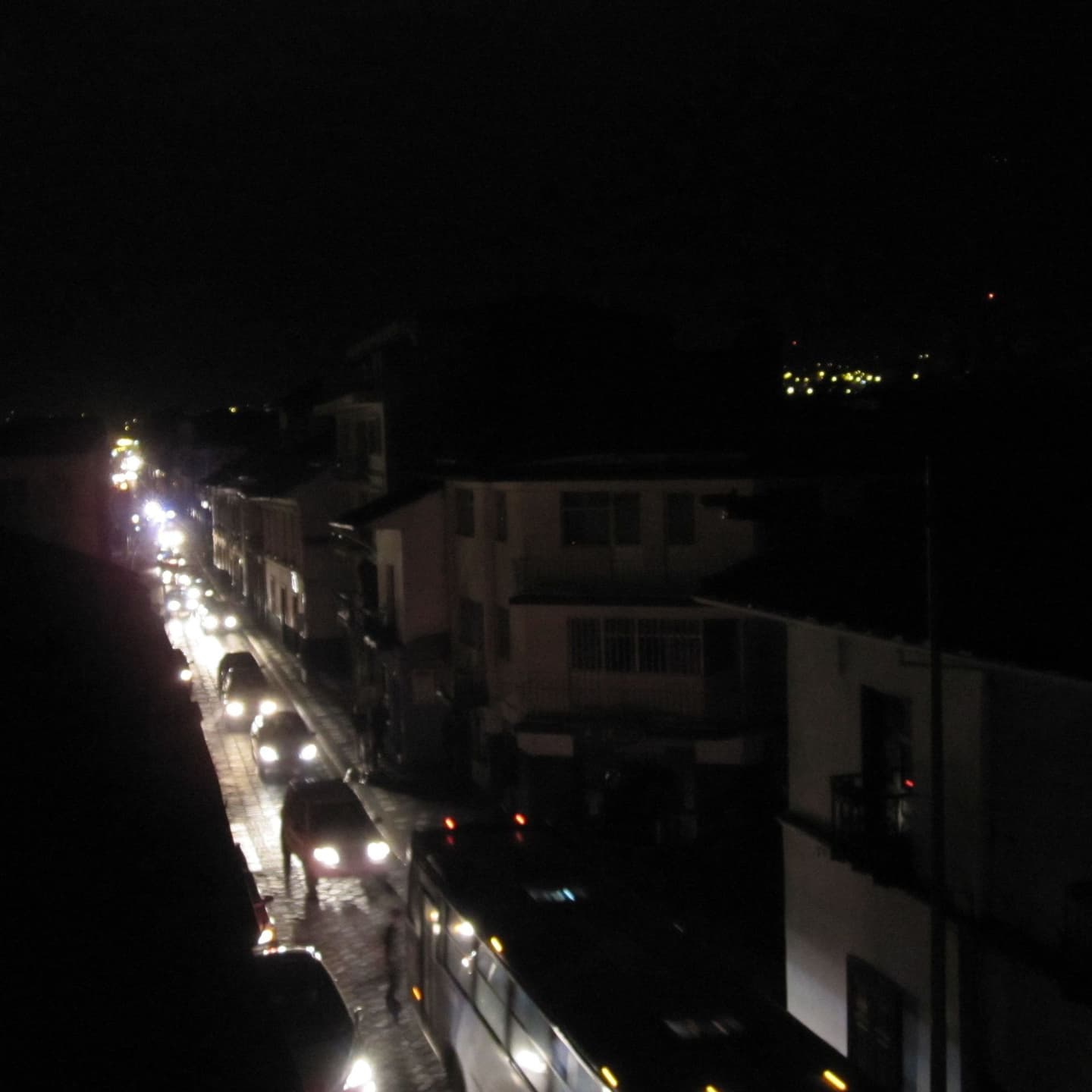
- Punishing storms swept through Ontario on Thursday evening, leaving thousands without power and damaging buildings across the region. Toronto was among the hard-hit areas, with officials noting rainfall of more than 100 millimetres in parts of the city.
- Record-Smashing July rains in 2013 swept through Canada's largest city, with Toronto Pearson recording 121 millimetres of rainfall, topping the previous high set by hurricane Hazel in 1954.
- Torrential rain flooded Union Station and the Don Valley Parkway, requiring water rescues for stranded drivers. Fire crews ferried 1,400 passengers to safety after floodwater seeped into a commuter train, while other commuters abandoned cars on the Gardiner Expressway.
- These flooding events caused significant financial losses, with a report from Swiss Re Canada putting damage at almost $1.5 billion. The city's preliminary numbers suggested a $4.9 million hit to its operating budget, while businesses lost millions in revenue.
- The Toronto Islands faced repeated flooding in recent years as rising Lake Ontario water levels surpassed previous records. Sandbags stacked on the north shore of Ward Island often failed to hold back the water, which reached residents' doors.
Insights by Ground AI
13 Articles
13 Articles

 Winnipeg Free Press
+11 Reposted by 11 other sources


Here's a list of some of the worst floods to hit Toronto area in recent years
TORONTO - Punishing storms swept through much of southern Ontario on Thursday evening, leaving thousands without power, damaging buildings and flooding roads.
·Winnipeg, Canada
Read Full ArticleCoverage Details
Total News Sources13
Leaning Left11Leaning Right0Center2Last UpdatedBias Distribution85% Left
Bias Distribution
- 85% of the sources lean Left
85% Left
L 85%
15%


Factuality
To view factuality data please Upgrade to Premium