El Niño: Which Northern California places are most at risk this winter?
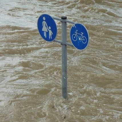
UC Davis says sea levels 2 to 3 feet higher than normal could flood roads, wreck piers and damage homes in low-lying areas.
10 Articles
10 Articles

The Californian coastline is being eroded by the phenomenon, which could be "unprecedented", warned the UN on Wednesday, 21 October. Several coastal cities are already suffering damage due to an overheating ocean, which causes an increase in its level and storms.
 Hastings Tribune


El Niño: Which Northern California places are most at risk this winter?
By now, most Northern Californians know that there are historically strong El Niño conditions in the Pacific Ocean which are increasing the chances for a rough and very wet winter.


 The Conversation
 The Laconia Daily Sun
El Niño is threatening California’s fragile coast again – the 1982-83 El Niño opened eyes to the serious erosion risks
The destructive 1982-83 El Niño, then the strongest on record, eroded cliffs, leaving homes hanging precariously over the edges. A coastal scientist explains the escalating risks.


Where El Niño may impact California coastal areas this winter
Driving across Highway 37 in the San Francisco Bay Area on the best of days already feels like driving on top of water. Buffeted on both sides by marshlands hosting egrets, herons, ducks and a handful of endangered species, the sea-level highway is a major connector linking Marin, Sonoma, Napa and Solano counties.
Coverage Details
Bias Distribution
- 63% of the sources lean Left


Factuality
To view factuality data please Upgrade to Premium