Published • loading... • Updated
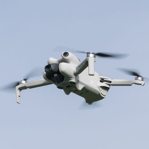
China Deploys Satellites and Drones to Xizang Quake Zone
4 Articles
4 Articles


Tibet earthquake kills 16; China deploys drones to search for survivors - News Today
At least 16 people were killed and 76 injured after a magnitude 7.0 earthquake struck a mountainous region in Tibet, prompting China to deploy satellites and drones to assist search-and-rescue operations. Authorities said The post Tibet earthquake kills 16; China deploys drones to search for survivors appeared first on News Today | First with the news.

Western Theater Command Air Force deploys drone to survey earthquake-hit area in Xizang
A drone operated by the Western Theater Command Air Force of the Chinese People's Liberation Army (PLA) was dispatched to the earthquake-hit area in Nagqu City in southwest China's Xizang Autonomous Region, shortly after midnight Friday to conduct an aerial survey, according to the official WeChat account of the People's Air Force.
·Beijing, China
Read Full ArticleCoverage Details
Total News Sources4
Leaning Left1Leaning Right1Center0Last UpdatedBias Distribution50% Left, 50% Right
Bias Distribution
- 50% of the sources lean Left, 50% of the sources lean Right
50% Right
L 50%
R 50%


Factuality
To view factuality data please Upgrade to Premium