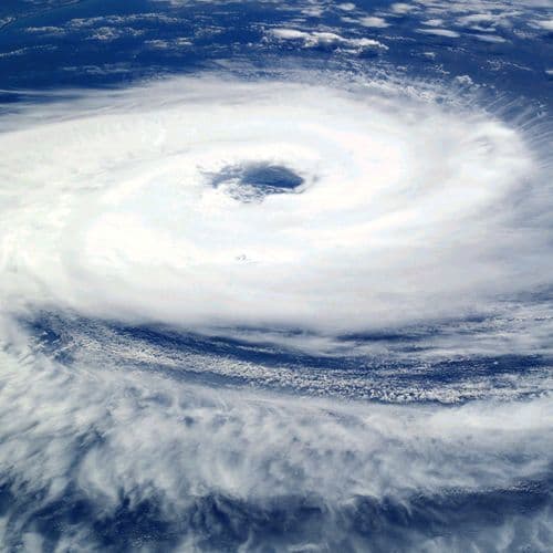
Hurricane Double Pack on the Rise: These Regions in Europe Must Now Be Careful
 This story is only covered by news sources that have yet to be evaluated by the independent media monitoring agencies we use to assess the quality and reliability of news outlets on our platform. Learn more here.
7 Articles
7 Articles

During the night on Friday, «Austen» meets the UK, followed by «Boelo» on the weekend. Problems on rail and road are also threatening in Germany.

A dangerous low-level storm, Austen, is approaching Europe, bringing heavy rain and gales reaching speeds of up to 130-150 km/h. The United Kingdom is most vulnerable to this type of weather, but not only. We also know what awaits Poland in the near future.

Europe will be on high alert in the coming days as a powerful and deep cyclone from the Atlantic Ocean will make landfall on the western part of the continent, making landfall.

The first impact is expected on Friday, and the new cyclone could bring further worsening weather over the weekend.

Western Europe is facing a severe storm, with meteorologists warning that wind gusts could reach 150 kilometers per hour in some areas. The coasts of France and Great Britain are most at risk, where hurricane-force winds are expected that could cause serious material damage, traffic disruptions and power outages.

On the other half of the week, Western Europe banned the cyclone that reports.
Coverage Details
Bias Distribution
- There is no tracked Bias information for the sources covering this story.


Factuality
To view factuality data please Upgrade to Premium