Published • loading... • Updated
Thunderstorm warnings continue for parts of UK with more rain expected
Forecasters warned of up to 75mm of rain, hail and lightning as a second yellow alert covers much of England and Wales.
- On Thursday, the Met Office issued two yellow thunderstorm warnings covering London, the South East, Wales, and much of England, with lightning, hail, and heavy rain forecast until 10pm.
- Forecasters anticipate 20 to 30mm of rainfall within three hours, with up to 50mm possible over 12 hours. The Met Office warned of a "small risk of flooding and disruption from thunderstorms" alongside hazardous 1 to 2cm hail.
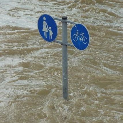
- The Environment Agency has issued 22 flood alerts across the Midlands and the South East as river levels swell. Emergency services reported "significant flooding" overnight in Birmingham following heavy rainfall.
- Met Office forecaster Craig Snell said: "To sum up the bank holiday weekend, it's going to be pretty unsettled," with further rain and thunderstorms forecast across the UK through Monday.
- These storms follow a summer of extreme heat and drought conditions, marking a shift toward cooler, unsettled weather. Temperatures will drop significantly, reaching highs of 22C to 24C over the weekend before sunny interludes appear on Monday.
Insights by Ground AI
7 Articles
7 Articles


Thunderstorms, heavy rain and stormy gusts: the umbrella should be at hand in the coming days. Is the weather also confusing the plans for the weekend?
Coverage Details
Total News Sources7
Leaning Left3Leaning Right0Center3Last UpdatedBias Distribution50% Left, 50% Center
Bias Distribution
- 50% of the sources lean Left, 50% of the sources are Center
50% Center
L 50%
C 50%


Factuality
To view factuality data please Upgrade to Premium