The Possible Rupture of the Polar Vortex Points to Spain: Probability of Abundant Rains and Radical Change of Time in These Areas
28 Articles
28 Articles

The vortex, according to experts, is weakening unusually early this year. The consequence is the risk of colder temperatures.

The most precocious stratospheric heating ever recorded will not bring the great cold. The polar vortex has already reorganized and for the first days of December the...

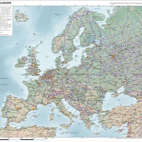
Warm and rainy weather in Europe will bring an end to a large-scale incursion of polar air at the end of the week. It will cool significantly across much of the continent over the weekend and early next week. In places, temperatures will be well below the long-term average. Snowfall may occur outside the mountains, but there will be less precipitation.

The Atlantik-Deefs continue to bring permanent rain to Germany, partly strong wind and regional danger of severe weather. At the weekend the weather changes: Polar air flows to Germany and it gets colder again.
 informacion.es


Atmospheric circulation in the northern hemisphere could undergo a major change in the coming weeks. As predicted by the European meteorological model (ECMWF), the stratospheric polar vortex, a large circulation of winds that develops over the Arctic during the coldest months of the year, is weakening considerably. And if this is maintained, it is not ruled out that in the coming weeks there will be a break in this structure that, in turn, could…
 Sapo
 SIC Notícias
Meteorologists are intrigued: polar vortex is weakening earlier than usual this year and this may mean colder for Europe this winter.
Coverage Details
Bias Distribution
- 55% of the sources lean Right


Factuality
To view factuality data please Upgrade to Premium