Published • loading... • Updated
Climate Risk Maps for 13 Districts in Van Will Be Created Using Satellite Data and Artificial Intelligence
Summary by sondakika.com
 This story is only covered by news sources that have yet to be evaluated by the independent media monitoring agencies we use to assess the quality and reliability of news outlets on our platform. Learn more here.
1 Articles
1 Articles

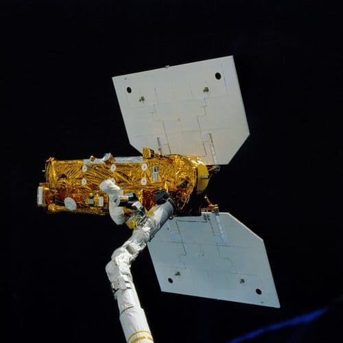
Van YYU's project, which maps climate risks in 13 districts using satellite data and artificial intelligence, will be presented today at COP31 in Antalya. Preliminary analyses have determined that the average summer temperature increased by 0.85 degrees Celsius and annual rainfall decreased by approximately 34 millimeters between 2015 and 2024.
Coverage Details
Total News Sources1
Leaning Left0Leaning Right0Center0Last UpdatedBias DistributionNo sources with tracked biases.
Bias Distribution
- There is no tracked Bias information for the sources covering this story.

Factuality
To view factuality data please Upgrade to Premium