California Coast Hit by High Surf, Closing Piers and Flooding Streets
San Francisco, US
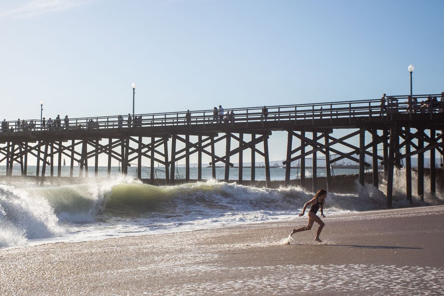
Apu GOMES / AFP via Getty Images/Getty
Source Analysis




What Happened
Key Implications
What Happened
Key Implications
Where Sources Disagree
- Surf Impact Timing: Some reports characterize Saturday as the peak of the coastal impact, noting widespread closures and evacuations. However, other sources emphasize that the California coast was pummeled again by huge waves on Sunday, illustrating the ongoing nature of the event.
- Meteorological Drivers Disputed: While National Weather Service meteorologists attribute the high surf to intense Pacific storm activity and hurricane-force winds, other reports point to the ongoing Super El Niño as the primary factor warming the ocean and increasing water volume.
- Wave Height Forecast Discrepancies: Some reports state the National Weather Service warned of waves exceeding 25 feet, while others cite forecasts predicting surf reaching up to 35 feet.
Timeline
November 15, 2026
Aftermath and ongoing risks forecast: The coast was pummeled again on Sunday but conditions began calming by Sunday afternoon; forecasters warned more large waves were expected all week, attributing the surge to storm activity (including hurricane‑force winds near the Gulf of Alaska) and an ongoing super El Niño warming the ocean.
November 14, 2026
Piers closed; evacuations and flooding: Tall waves forced closures of multiple piers (including Manhattan Beach, Ventura, Huntington Beach and San Diego’s Pacific Beach), prompted an evacuation warning near Capitola, and sent water onto city streets and beaches from San Mateo County to La Jolla Cove.
November 14, 2026
High surf warnings and record swells: By Saturday, the National Weather Service had issued high surf warnings with waves over 25 feet along much of the coast; a buoy off Point Reyes recorded a 31.2-foot wave (the highest since 2015) and localized break points like Mavericks saw waves reported at 50 to 60 feet.
Summary by Ground AI
Sources
See All 77A varied selection of sources chosen by Ground to reflect the diversity of this story’s coverage.
Most Written About
The stories getting the most coverage from the last 24 hours



Source Analysis
Timeline
November 15, 2026
Aftermath and ongoing risks forecast: The coast was pummeled again on Sunday but conditions began calming by Sunday afternoon; forecasters warned more large waves were expected all week, attributing the surge to storm activity (including hurricane‑force winds near the Gulf of Alaska) and an ongoing super El Niño warming the ocean.
November 14, 2026
Piers closed; evacuations and flooding: Tall waves forced closures of multiple piers (including Manhattan Beach, Ventura, Huntington Beach and San Diego’s Pacific Beach), prompted an evacuation warning near Capitola, and sent water onto city streets and beaches from San Mateo County to La Jolla Cove.
November 14, 2026
High surf warnings and record swells: By Saturday, the National Weather Service had issued high surf warnings with waves over 25 feet along much of the coast; a buoy off Point Reyes recorded a 31.2-foot wave (the highest since 2015) and localized break points like Mavericks saw waves reported at 50 to 60 feet.

