Published • loading... • Updated
Wildfire at junction north of Castlegar grows in size, drops in rank, overnight
BC Wildfire Service said two airtanker groups and NVIS helicopters helped slow the lightning-caused blaze, which has not threatened structures.
- On Friday, BC Wildfire Service mapped The Ezra Creek wildfire at 157 hectares, up from 116 hectares Thursday and considered 'limited growth' by officials near Castlegar, Thrums, and Tarrys.
- A lightning strike ignited the fire on August 25, with local thunderstorms on Wednesday driving rapid expansion; the blaze grew 40 hectares between mid-day Thursday and Friday noon.
- Despite growth, BCWS downgraded the fire to rank one and two wildfire, noting 'pockets' of rank three activity with smouldering surfaces and moderately vigorous flames; no structures are threatened.
- Two airtanker groups deployed retardant and water Wednesday and Thursday to slow growth, while Night Vision Imaging Systems-equipped helicopters conducted bucketing operations overnight Thursday with continued Friday efforts.
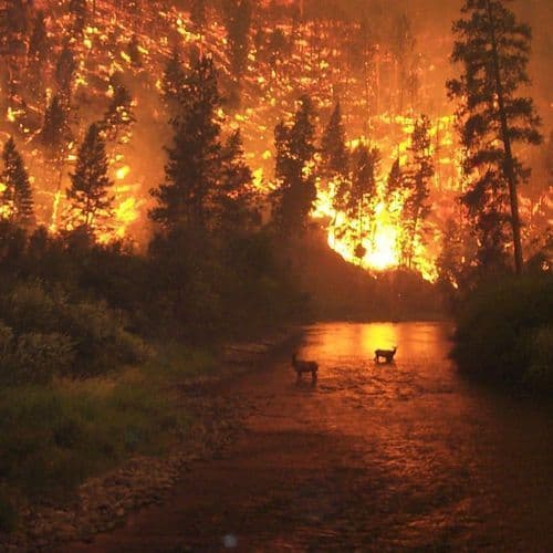
- The wildfire remains highly visible across the populated rural area near highways 3A and 6, with flames appearing more intense after dark as fire moves through unburned fuel pockets; suppression operations continue north of Castlegar.
Insights by Ground AI
6 Articles
6 Articles


Wildfire at junction north of Castlegar grows in size, drops in rank, overnight
Although the fire burning at the junction has grown in size, it has been downgraded to a rank one and two wildfire, according to B.C. Wildfire Service (BCWS) this morning. There are are still 'pockets' of rank three wildfire observed in the Ezra Creek wildfire's behaviour, the BCWS noted, meaning th...
·Kelowna, Canada
Read Full ArticleCoverage Details
Total News Sources6
Leaning Left4Leaning Right0Center1Last UpdatedBias Distribution80% Left
Bias Distribution
- 80% of the sources lean Left
80% Left
L 80%
C 20%


Factuality
To view factuality data please Upgrade to Premium