Polar Vortex About To Go 'Haywire': What That Means For Temps In PA
Forecasters say the disruption could be one of the earliest on record, but they do not expect immediate Arctic cold in the United States.
- Meteorologists are monitoring an unusually early weakening of the polar vortex, a vast circulation of cold air above the Arctic, raising the possibility of colder weather across parts of Europe, North America, and Asia.
- Scientists have observed signs of disruption as early as this season, an unprecedented development. Major sudden stratospheric warming events have occurred only three times since the 1950s—in 1958, 1968, and 2025.
- "As far as we know, this is the earliest stratospheric vortex disruption that has been observed," European Centre for Medium-Range Weather Forecast scientists Tim Stockdale and Frederic Vitart told AFP. MIT climatologist Judah Cohen explained the vortex is disrupted from below.
- When the vortex weakens or becomes displaced, the jet stream can become distorted, potentially allowing cold Arctic air to spill into lower latitudes. Scientists are assessing the impact on winter weather systems across the Northern Hemisphere.
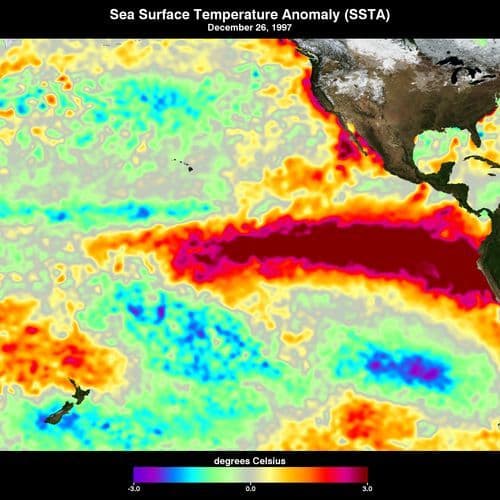
- Increased temperature contrast across Eurasia may amplify Rossby waves, making the polar vortex more likely to be disrupted. Scientists are also examining the influence of the strong Nino in the Pacific on atmospheric circulation.
103 Articles
103 Articles

'Dangerous and unprecedented' polar vortex could break record this month
The unusual phenomenon, potentially prompted by the El Niño effect, may see the vortex, a large circulation of strong winds high above the Arctic Circle, weaken and even split, thereby sending colder air further south.

The polar vortex crosses one of the most unusual disturbances ever recorded at the beginning of November, and meteorologists warn that the phenomenon could significantly change the evolution of weather in Europe this winter. Climate simulations indicate an increased risk of temperatures below the normal period and more abundant in December, including in the east of the continent, the region of which Romania is also a part. However, there is a ma…
 Kreiszeitung


The US weather model turns the German winter red. But just above the North Pole something happens that has never existed since 1959. A weather column by Dominik Jung.

Meteorologists over the Arctic are monitoring an unusual phenomenon that could affect weather across much of the Northern Hemisphere. The polar vortex, a massive mass of cold air over the North Pole, has been showing signs of weakening since early November, which experts say is unprecedented in modern meteorological measurements. This is increasing the risk of cold fronts across the entire Northern Hemisphere, although the impact of the phenomen…

The world's meteorological community said on Friday that they are monitoring an unprecedented early disruption of the polar vortex, which is increasing the risk of cold waves across the Northern Hemisphere, although the further development of the situation is still unclear.

What if the winter kept us a few surprises? An exceptional weather phenomenon disturbs the polar vortex over the Arctic, several weeks ahead of the calendar
Coverage Details
Bias Distribution
- 55% of the sources are Center


Factuality
To view factuality data please Upgrade to Premium