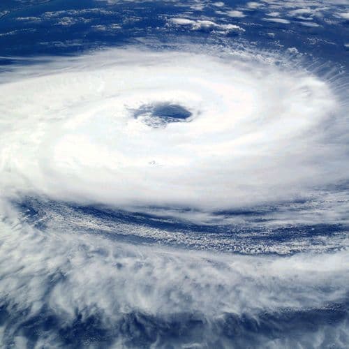
Extratropical Cyclone and Cold Front Bring Storms and Temperature Drop in the South and Southeast
4 Articles
4 Articles

The National Institute of Meteorology (Inmet) issued a potential hazard warning for storms in various regions of the country on Sunday (8). The warning foresees rain of up to 50 millimeters per day, intense winds of up to 60 km/h and possibility of hailfall. There is also a forecast of temperature decline between 3°C and 5°C in areas of the South, Southeast and Midwest.

New extratropical cyclone consolidates on the weekend, drives cold front and increases the risk of intense rains, tornadoes and slides in the South, Southeast and Midwest The post Second cyclone of the week already has date to form with winds above 80 km/h; 8 states are on alert for time wave apareceu primeiro em ND More

There is forecast of temporal, intense rains and falling temperatures in the South, Southeast and Midwest

The formation of an extratropical cyclone in the Atlantic Ocean and the advance of a cold front put bands of the South, Southeast and Midwest regions in alert of danger to storms on Thursday (05/11/2026). The meteorological system intensified a corridor of humidity that transports warm air from the North towards the continent. The shock of the masses [...]
Coverage Details
Bias Distribution
- 100% of the sources lean Right


Factuality
To view factuality data please Upgrade to Premium