Published • loading... • Updated
Indonesia Fires Burned Through Nearly 2.9 Million Hectares: Monitor
The burned area is 18 times the size of London, and officials say smoke and rain are affecting satellite estimates as fires continue.
- On Wednesday, November 11, 2026, satellite data revealed that wildfires in Indonesia have burned through 2.88 million hectares so far this year, an area 18 times the size of London.
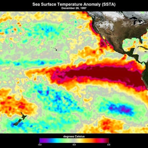
- Indonesia experiences fires every dry season, but severe blazes in 2026 driven by an intense El Nino drought have already exceeded the 2.63 million hectares burned during 2019, the previous record year.
- The burned area increased nearly a million hectares since September, while the fires caused significant pollution that sickened hundreds of thousands in Malaysia and Singapore. "Basically, it's a really bad year," Gaveau said.
- Forestry ministry spokesman Ristianto Pribadi told AFP the government is working on updated estimates of fire-affected land. "Updating the data on the size of land and forest fires-affected areas requires in-depth confirmation and verification," said Ristianto.
- While rainfall has brought some of the worst blazes under control, Nusantara Atlas founder Gaveau warned the total figure will likely rise as hidden burn scars become visible to satellites in coming months.
Insights by Ground AI
11 Articles
11 Articles


Indonesia fires burned through nearly 2.9 million hectares: monitor
The burned area figure -- 18 times the size of London -- has increased nearly a million hectares since deforestation monitoring site Nusantara Atlas's last update in September. Indonesia's government has not provided official figures for areas burned since announcing 202,000 hectares had been razed by the end of July. The burning detected in analysis through the end of October is a conservative estimate, warned Nusantara Atlas founder David Gave…
·Issy-les-Moulineaux, France
Read Full Article


Coverage Details
Total News Sources11
Leaning Left1Leaning Right3Center3Last UpdatedBias Distribution43% Center, 43% Right
Bias Distribution
- 43% of the sources are Center, 43% of the sources lean Right
43% Right
14%
C 43%
R 43%


Factuality
To view factuality data please Upgrade to Premium