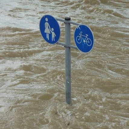
Storm and Flood Warnings for South of France
9 Articles
9 Articles


Cumulations on the whole episode may reach 200 to 250 millimetres, or even 300 millimetres locally.


At noon, Météo-France placed in orange vigilance the Bouches-du-Rhône and the Var, adding to the Hérault, the Gard and the Lozère. Météo-France evokes "a stormy Mediterranean episode" which is taking place, "becoming very active between this Monday afternoon and Tuesday morning". In the Gard and the Hérault, the orange vigilance begins at 14:00, because the sometimes stormy rains going up from the Mediterranean will intensify from midday accordi…

The Bouches-du-Rhône and the Var join the Hérault, the Gard and the Lozère in orange vigilance for rains-floods and thunderstorms.The expected cumulations... Read more Five departments of the South-East are preparing for an episode of intense stormy rains appeared first on Le Singulier.

Hailstones, strong gusts and the risk of tornado: the areas to be monitored in the south-east Violent thunderstorms threaten part of the Mediterranean between Monday, October 19 and Tuesday, October 20. Beyond the intense rains, hail falls, heavy gusts and whirlpool phenomena are possible. L-Hérault, the Gard and the west of Bouches-du-Rhône concentrates the main concerns for the evening and the next night. A worsening expected this afternoon an…

Read the full article on stephaneLarue.com After the Gard and the Hérault, the Lozère, the Var and the Bouches-du-Rhône pass in orange. Schedules, expected cumulations and risk of red vigilance, department by department.
Coverage Details
Bias Distribution
- 67% of the sources lean Left


Factuality
To view factuality data please Upgrade to Premium