Published • loading... • Updated
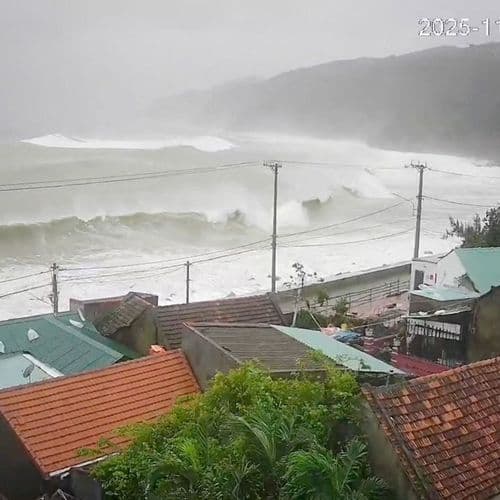
Extremely Strong Typhoon No. 32 (Champaka) Has a Central Pressure of 955 hPa and a Maximum Instantaneous Wind Speed of 60 M/s. It Is Moving Eastward Southwest of Chichijima... What Will Its Future Path Be? Check the Latest Information <Japan Meteorological Agency Announcement>
Summary by FNN.jpプライムオンライン
 This story is only covered by news sources that have yet to be evaluated by the independent media monitoring agencies we use to assess the quality and reliability of news outlets on our platform. Learn more here.
1 Articles
1 Articles

According to the Japan Meteorological Agency, as of 5 PM on the 10th, extremely strong Typhoon No. 32 (Champaka) was located approximately 220 kilometers southwest of Chichijima Island and moving eastward at a speed of 30 kilometers per hour. Its central pressure was 955 hectopascals, and its maximum instantaneous wind speed was 60 m/s. The typhoon is expected to weaken slightly afterwards, reaching approximately 180 kilometers east of Chichijim…
Coverage Details
Total News Sources1
Leaning Left0Leaning Right0Center0Last UpdatedBias DistributionNo sources with tracked biases.
Bias Distribution
- There is no tracked Bias information for the sources covering this story.

Factuality
To view factuality data please Upgrade to Premium