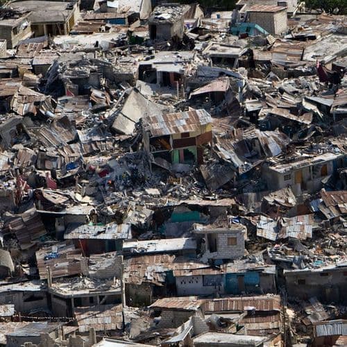
A 5.1 Magnitude Earthquake Struck Near Gorontalo, Indonesia.
4 Articles
4 Articles

The epicenter of the earthquake was at coordinates 1.79 North Latitude and 122.3 East Longitude, with a depth of 465 kilometers.

نُشر هذا المقال أولاً عبر Cedarnews.net. Words موقعنا. A 5.1 magnitude earthquake was recorded near Gorontalo, Indonesia on 2026-11-15 22:41 IWST, according to U.S. Geological Survey (USGS). The depth of the earthquake was around 487.4 km. The epicenter is approximately 169 km from Gorontalo, Indonesia. Home page Cedarnews page الإخباري. للاطلاع على مزيد من الأخبار العاجلة والتقاريه موقعنا الرسمي.

The Meteorology, Climatology, and Geophysical Agency (BMKG) recorded a 5.4 magnitude earthquake in northwest North Gorontalo, Gorontalo, this evening. The quake did not have the potential to cause a tsunami.

REPUBLIKA.CO.ID, GORONTALO – The Meteorology, Climatology, and Geophysics Agency (BMKG) detected a 5.4-magnitude earthquake that rocked the northwest region of Gorontalo on Sunday evening (March 23). The epicenter...
Coverage Details
Bias Distribution
- 50% of the sources are Center, 50% of the sources lean Right


Factuality
To view factuality data please Upgrade to Premium