Published • loading... • Updated
Odivelas Tests Floodgate Pilot Project: Satellites Can Help Fight Floods
Summary by Jornal Expresso
4 Articles
4 Articles

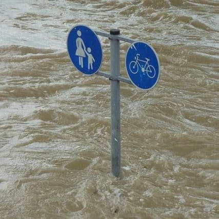
New technology aims to facilitate and improve the responses to floods in the city. In addition to mapping flooded areas, the project will cross the information collected by satellites with data on the territory
·Paço de Arcos, Portugal
Read Full Article
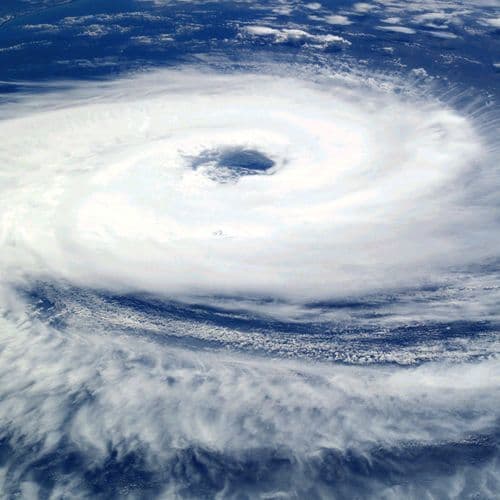
GMV and LNEC's "Floodgate" pilot project combines satellite images, radar data and water line sensors to map flooded areas and issue alerts.
·Lisboa, Portugal
Read Full Article
The technology, which should start to be tested in a more concrete way during the next winter, will provide information on the extent of flooded areas.
·Lisboa, Portugal
Read Full Article
In issue is the pilot project "Floodgate", developed by the GMV technology company in collaboration with the National Laboratory of Civil Engineering.
Coverage Details
Total News Sources4
Leaning Left0Leaning Right1Center1Last UpdatedBias Distribution50% Center, 50% Right
Bias Distribution
- 50% of the sources are Center, 50% of the sources lean Right
50% Right
C 50%
R 50%


Factuality
To view factuality data please Upgrade to Premium